OPS!
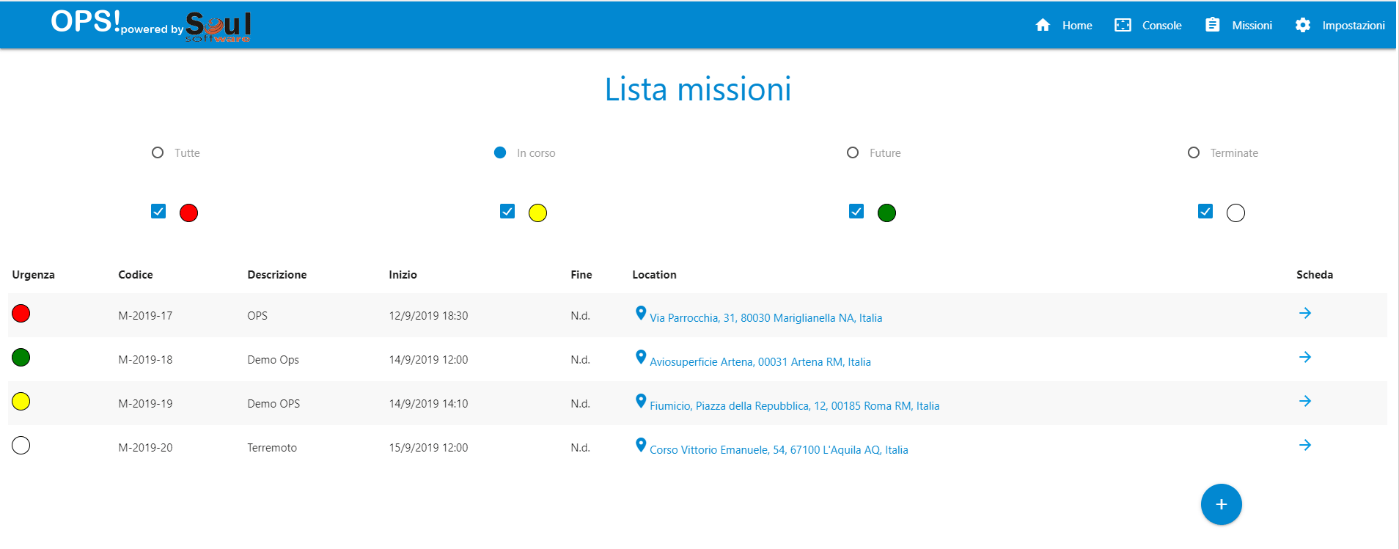
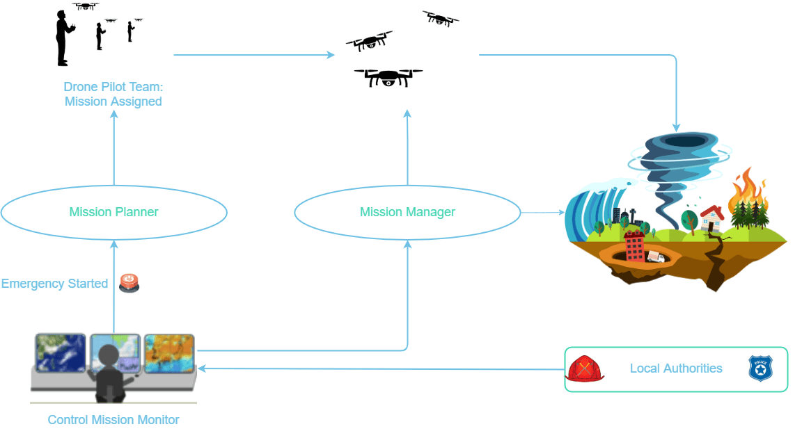
OPS! is a cloud platform with the aim of planning and managing the drone surveillance in emergency situations such as: rescue people, fire detection and fighting, natural disasters.
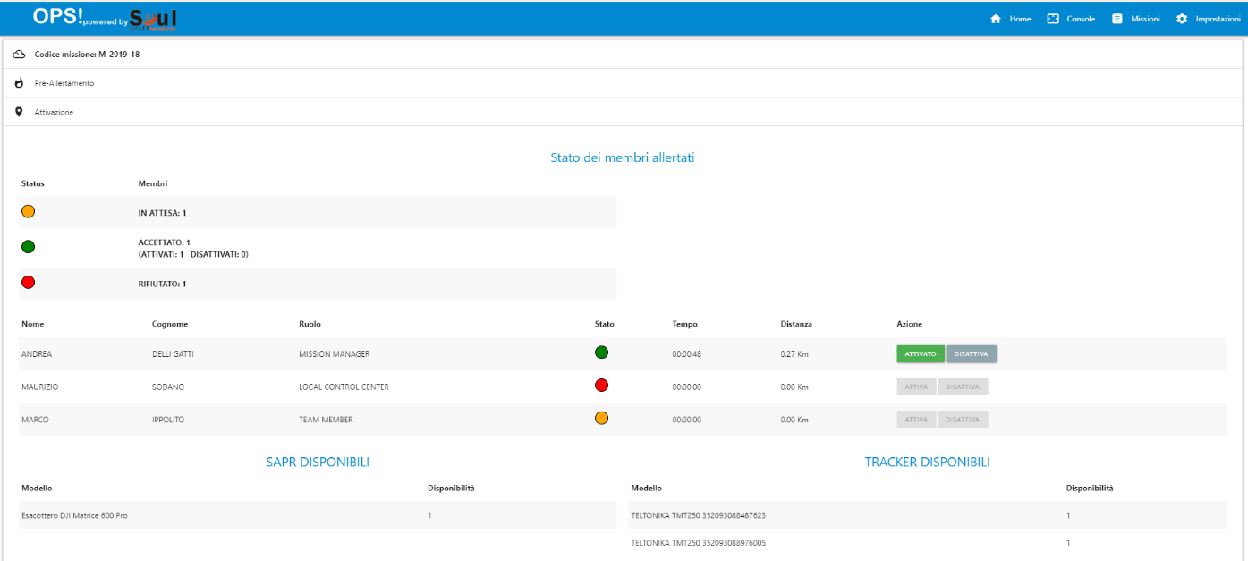
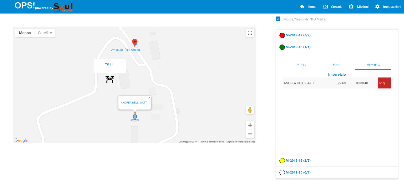
Local authority in charge of monitoring the territory via drones, will be able to plan the mission, assign it to a team, and monitor in real time drone movements.
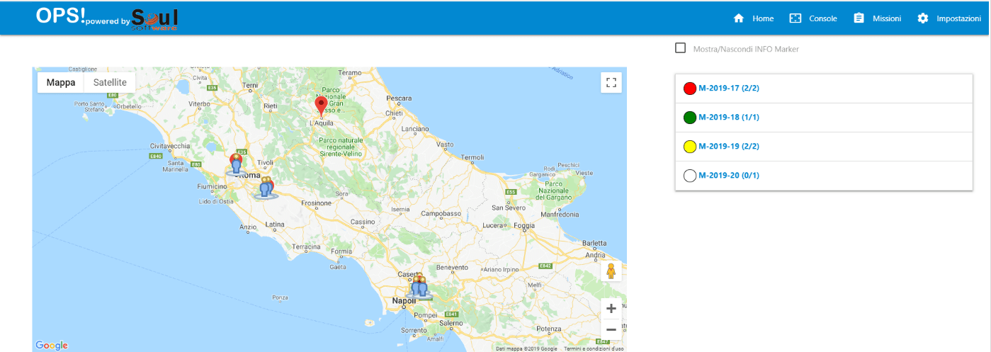
A national body, delegated to control these missions, will be able to monitor events throughout the territory and will have a summary dashboard of current and past events at its disposal.
Cloud platform for planning, execution and monitoring missions and related operations.
Planned Capabilities
Interoperability With D-Flight
- Registration
- E-Identification
- GeoAwareness, updating of No-fly zones maps
- Authorization of drone flight plans (where it is required)
SORA Submission
Contextual Maps
- No-Fly zones
- Weather Maps
- Electromagnetic maps
- Aircraft tracks in the vicinity (such as FlightRadar24)
Digital Logbook
Members History Of Their Activities
Soul Software is looking for partners who want to contribute to the development of the Drone Rescue OPS platform!
We need Drone Operators willing to provide us with indications, requirements and… field tests!!

